Earth observation

Earth observation, and associated data analysis, involves the collection of information on natural and man-made environments using remote sensing and in-situ observation techniques. These include:

- remote optical and radar observations from aircraft and satellites.

- autonomous vehicles for inspection of natural habitats or artificial structures such as fish cages

- laboratory analysis of water samples

- sensors to quantify air, water and sediment physical and biogeochemical properties


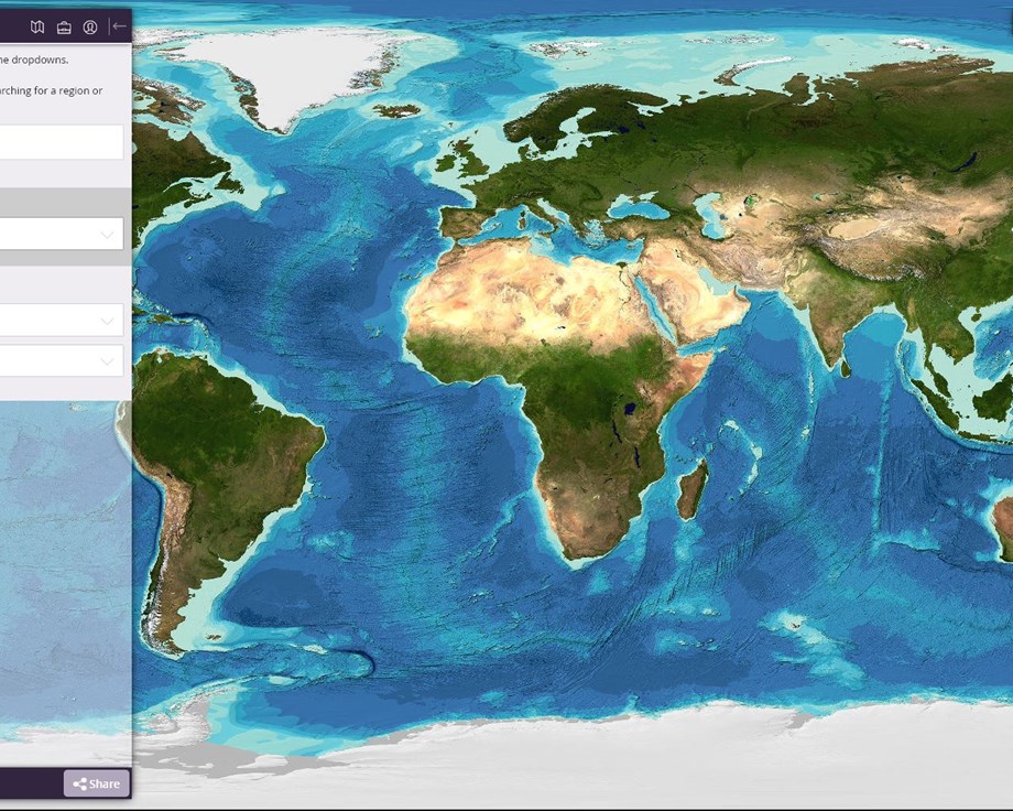
Large scale Earth Observation techniques such as satellite remote sensing are an excellent source of monitoring data serving as input to models and early warning of risks to aquaculture. Satellite remote sensing is used to:

- Quantify change in use over time (e.g. change in number of aquaculture structures in a location)

- Inform baseline and trend analysis in water quality for optimal site selection

- Assess frequency and locations of Harmful Algal Blooms (HABs) to support site planning and risk management.

- Monitor water quality to warn of potential risks to farms and to comply with environmental monitoring regulations

WebGIS

Access spatial data layers and model outputs.

Scientific papers and relevant literature

Gernez, P., Doxaran, D., Barillé, L. 2017. Shellfish Aquaculture from Space: Potential of Sentinel2 to Monitor Tide-Driven Changes in Turbidity, Chlorophyll Concentration and Oyster Physiological Response at the Scale of an Oyster Farm. Frontiers in Marine Science.

Gernez P., Barillé L., Lerouxel A., Mazeran C., Lucas L., Doxaran D. (2014), Remote sensing of suspended particulate matter in turbid oyster farming ecosystems, Journal Geophysical Research Oceans, 119, doi:10.1002/2014JC010055
https://agupubs.onlinelibrary.wiley.com/doi/full/10.1002/2014JC010055

Gernez P., Doxaran D., Barillé L. 2017. Shellfish Aquaculture from Space: Potential of Sentinel2 to Monitor Tide-Driven Changes in Turbidity, Chlorophyll Concentration and Oyster Physiological Response at the Scale of an Oyster Farm. Frontiers in Marine Science. 4, 137, doi: 10.3389/fmars.2017.00137
https://www.frontiersin.org/articles/10.3389/fmars.2017.00137/full

Barillé L., Le Bris A., Goulletquer P., Thomas Y., Glize P., Kane F., Falconer L., Guillotreau P., Trouillet B., Palmer S. & Gernez P. (2020). Biological, socio-economic, and administrative opportunities and challenges to moving aquaculture offshore for small French oyster-farming companies. Aquaculture, 735045.
https://www.sciencedirect.com/science/article/pii/S0044848619317351

Palmer S., Gernez P., Thomas Y., Simis S., Miller P., Glize P., and Barillé L. (2020) Remote Sensing-Driven Pacific Oyster (Crassostrea gigas) Growth Modeling to Inform Offshore Aquaculture Site Selection. Frontiers in Marine Science. 6:802. doi: 10.3389/fmars.2019.00802 https://www.frontiersin.org/articles/10.3389/fmars.2019.00802/full

Research Topic: Remote Sensing for Aquaculture: https://www.frontiersin.org/research-topics/9293/remote-sensing-for-aquaculture